Satellites at the service of skippers
From space, three types of satellites continuously monitor icebergs which could threaten skippers and their boats. At an altitude of 700 km, they detect, analyze and track the ice using advanced technologies.
- Cloud-piercing radar satellites: to detect icebergs day and night.
- Optical satellites: space cameras.
- Altimetric satellites: normally used to measure the average sea level, their use has been diverted here to detect icebergs.
An innovative space collaboration
This monitoring would not be possible without the cooperation of the ESA (European Space Agency) and the CNES (Centre national d'études spatiales), parent company of CLS. For this 10th edition of the Vendée Globe, CLS is relying on:
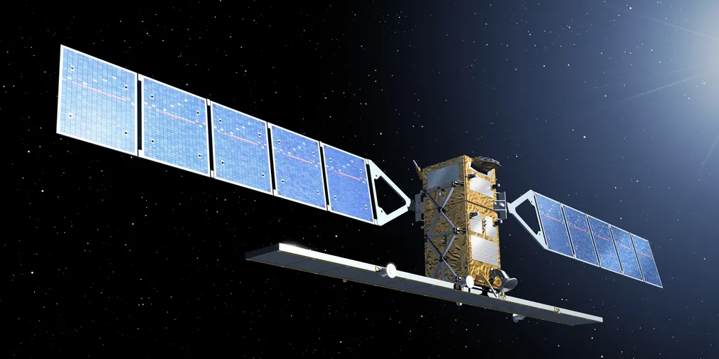
- Sentinel-1A, a radar satellite from the European Space Agency (ESA).
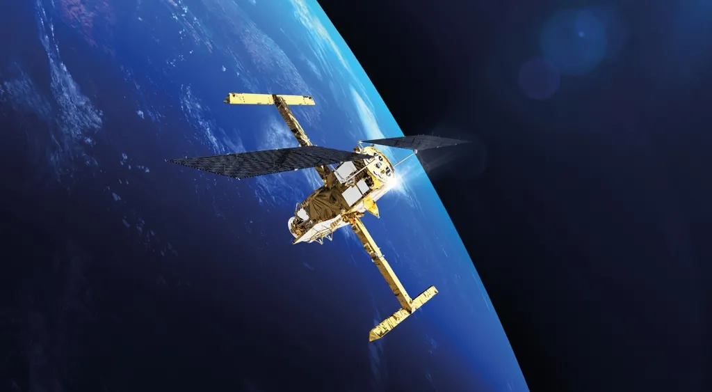
- SWOT, an altimetric satellite launched in 2022, an innovation from CNES, which maps risk areas and predicts the movements of icebergs.
With these tools, each iceberg is integrated into forecast models that simulate its trajectory and evolution, allowing real-time adjustments to the Antarctic Exclusion Zone (AEZ).
Exceptional human and technological resources
Nearly 100 CLS experts, in Toulouse and around the world, are mobilizing satellites and artificial intelligence to analyze the data. Their mission? Anticipate risks so that each skipper completes the loop in optimal safety conditions.


